
D.R. Congo Launches Major Geological Survey to Unlock Mineral Potential
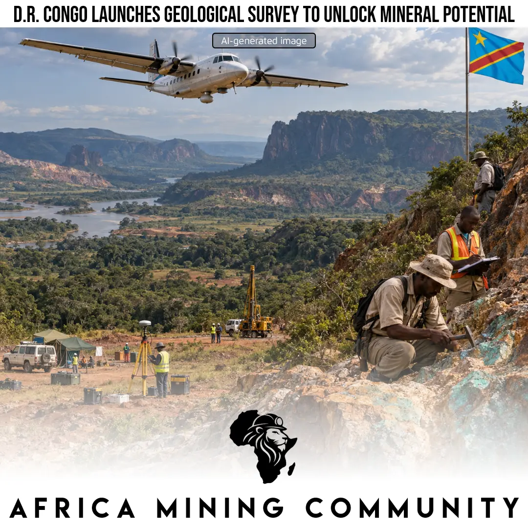
D.R. Congo launches a major airborne geological survey to map underexplored regions, reduce mining risk and unlock new mineral investment opportunities.
The Democratic Republic of Congo has launched a major nationwide geological mapping initiative aimed at improving knowledge of the country’s mineral resources, reducing exploration uncertainty and attracting investment into regions that remain largely underexplored. Known as the PC2G-RDC programme, the initiative will use high-resolution airborne geophysical surveying to generate more detailed information about the geological structures beneath the country’s surface. For a nation that already plays a central role in global supplies of copper, cobalt and other strategic minerals, the programme could significantly strengthen the geological foundation needed to guide future mining development.
Despite the D.R. Congo’s enormous mineral endowment, large parts of the country have not yet been systematically explored using modern geological and geophysical techniques. Less than 10% of the national territory is considered to have been thoroughly explored, leaving substantial uncertainty about the location, scale and commercial potential of mineral deposits outside established mining regions. The new programme is intended to address this information gap by collecting high-resolution airborne data that can reveal variations in magnetic, radiometric and other geophysical characteristics associated with different rock formations and mineral systems.
The initiative will initially concentrate on Kongo Central, Kwango, Kwilu and the Greater Kasai region. These areas have received significantly less exploration attention than the country’s southeastern mining heartland, particularly Greater Katanga, where extensive geological work has supported the development of major copper and cobalt operations. By extending modern geological mapping into less-studied provinces, the government hopes to identify new prospective zones that could eventually diversify the geographical distribution of mining investment across the country.
The programme builds on geological surveying and data acquisition already carried out in Greater Katanga. This previous work has provided the authorities with experience in collecting, processing and interpreting geological information at a regional scale. Extending similar methodologies to other parts of the country could create a more coherent national geological database and provide investors with a clearer understanding of areas where further exploration may be justified.
Congo’s National Geological Service, known as the Service Géologique National du Congo, or SGNC, is responsible for implementing the project. Technical support is being provided by Spanish geophysical services company Xcalibur, which specializes in airborne geophysical surveys and the acquisition of geological data. The collaboration is expected to combine international technical expertise with the development of stronger domestic capabilities within Congo’s geological institutions.
One of the programme’s principal objectives is to substantially increase the proportion of the country covered by modern geoscientific information. National geological coverage is expected to rise from approximately 22.27% to 46.1% as the programme progresses. Such an expansion would represent an important improvement in the amount and quality of geological information available to government agencies, exploration companies, investors and researchers.
Improved geological datasets can play a critical role in reducing exploration risk. Mining exploration is capital-intensive, and companies must often spend significant amounts before confirming whether commercially viable deposits exist. High-quality geological and geophysical information can help exploration companies narrow their search areas, prioritize drilling targets and make more informed investment decisions. In practical terms, better public geological information can lower the technical uncertainty associated with entering relatively unexplored regions.
The initiative also reflects a broader government objective of strengthening national ownership and control over strategic geological information. The authorities are seeking to reinforce domestic control of geological maps, databases, physical samples, laboratories and specialist expertise. Geological data is an important strategic asset because it influences where exploration capital is deployed, how mineral resources are valued and how governments negotiate with companies seeking access to prospective areas.
Developing stronger national geoscientific institutions could therefore provide benefits beyond the discovery of new mineral deposits. Better geological knowledge can support land-use planning, infrastructure development, environmental management and mineral-sector regulation. It can also improve the government’s ability to evaluate exploration proposals and negotiate licences, fiscal terms or development agreements with greater knowledge of the underlying resource potential.
For the D.R. Congo’s mining industry, the PC2G-RDC programme could gradually broaden the country’s exploration pipeline beyond its established copper and cobalt districts. If the surveys identify commercially attractive mineral systems in Kongo Central, Kwango, Kwilu or Greater Kasai, these regions could attract new exploration expenditure, infrastructure investment and mining-related employment. At the national level, improved control over geological information may strengthen the government’s negotiating position and support more strategic management of mineral resources. For Africa more broadly, the initiative illustrates the growing importance of state-backed geoscientific mapping as countries seek to capture greater value from rising global demand for critical minerals while reducing dependence on externally controlled geological knowledge.
Mini-Glossary
- Airborne geophysical survey: A method of collecting geological information from aircraft equipped with instruments that measure magnetic, radiometric and other physical characteristics of the ground.
- Geoscientific coverage: The proportion of a country or region that has been systematically studied and mapped using geological or geophysical methods.
- Exploration risk: The uncertainty that mining companies face when searching for economically viable mineral deposits.
- Prospective mineral zone: An area whose geological characteristics suggest that valuable mineral deposits may be present.
- Radiometric surveying: A geophysical technique that measures naturally occurring radioactive elements in rocks to help identify different geological formations.
- Mineral endowment: The quantity and diversity of mineral resources naturally occurring within a country or region.
- Exploration pipeline: The range of mineral prospects and projects progressing from early geological investigation toward drilling, resource definition and potential mine development.
- Critical minerals: Minerals considered strategically important for industries such as energy, technology, manufacturing and national security, often because supply is concentrated in a limited number of countries.
Editor: Vural Burç ÇAKIR